march132005groundscout

Friday, March 31, 2006

Pic 65 National Coal

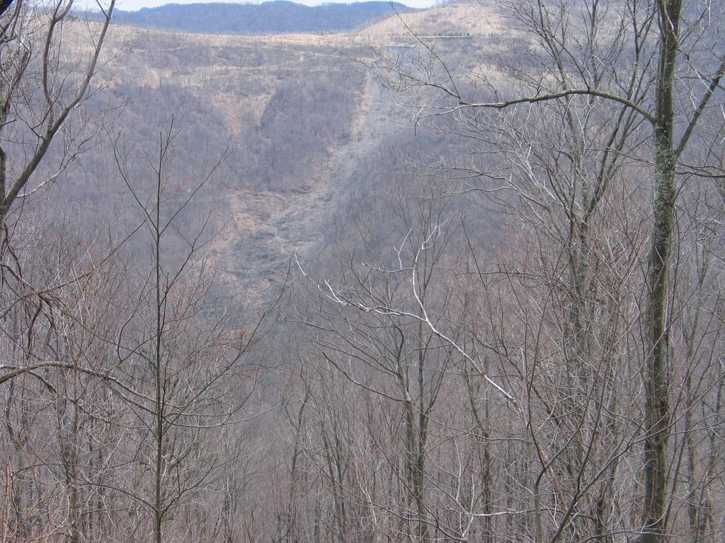
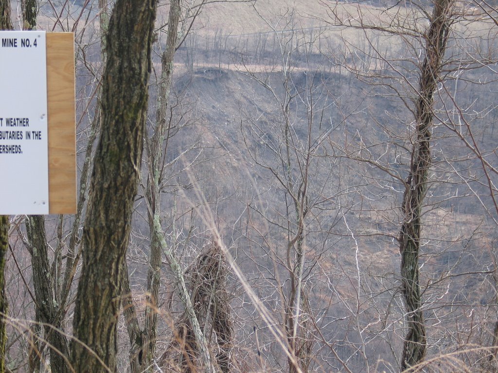
National Coal has bought over 75,000 acres of mineral rights in the New River Watershed. Before they removed it their website said that this area had been mined in the past, but nothing like what they planned on doing to it.

Pic 62 M.A. From top

pic 47 Megaslide Alpha

Pic 42 Megaslide Alpha

pic 40 Megaslide Alpha

Pic 37 Megaslide Alpha

Pic 35 Megaslide Alpha

Pic 26 500 yards down road from National Coal sign below

Pic 25 Closeup of slide to left of sign below

Pic 24

pic 23 landslide in background

Pic 19 National Coal

Its hard to see-but if you look to the left of this sign there is a landslide, there is one to the right as well. Look below and you can see the slides. Touch the pic and it will enlarge. This is the mine that TDEC granted a permit for without any mention of the landslides to the public.

pic 18 Landslide

TDEC granted a permit for National Coal for this site. During the hearing process they never once mentioned the 5 different landslides which we located while in the field. By the time we got out and saw the site the comment period was over and it was to late. The landslides are the result of post SMCRA mining, these are not prelaw slides. TDEC and OSM are granting permits in the same area where the same mining techniques and engineering has created massive landslides in the past.

pick 15 landslide in Slick Rock watershed

pic 9 buffalo mountain

pic 3